-Ward Swann, Yadkin River State Trail Coordinator
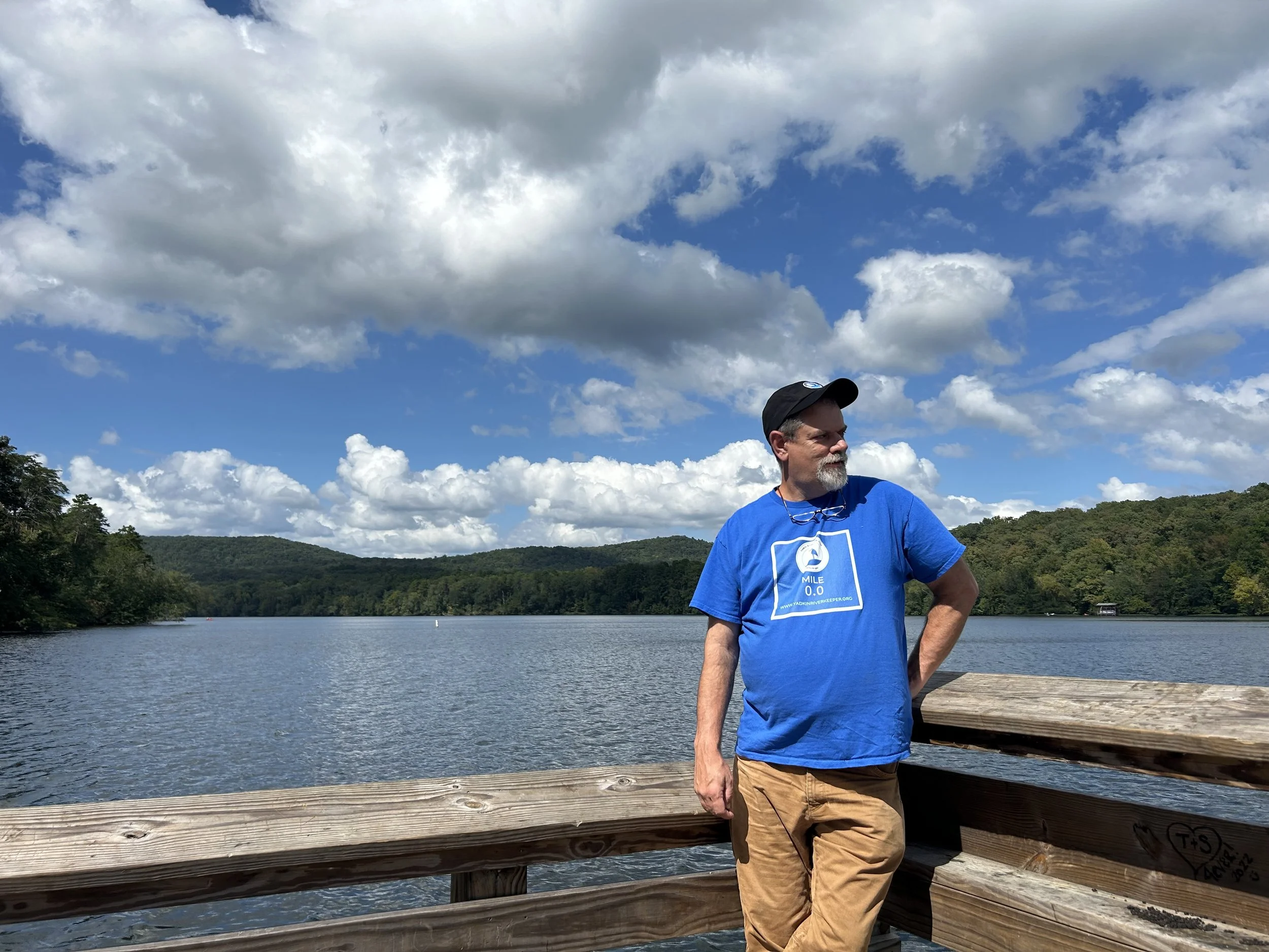
Ward Swann at Mile 0 at Morrow Mountain State Park.
North Carolina State Parks has a goal for State Trails of permanence and foreseeable longevity. They are working towards this goal by assuring a long-term commitment with the landowner of the accesses that are part of the trail. When the level of commitment and certain criteria are met that access is “designated” as part of the trail and formally approved by the State Trail Committee and the Secretary of the NC Department of Natural and Cultural Resources (DNCR). Once designated, that access can be recommended with full confidence and its management will be dependable for the foreseeable future. In return the state, through Yadkin Riverkeeper as the YRST’s official nonprofit part, can provide grants to improve the site to the managing agency.
This Summer the DNCR designated Bringle Ferry and Flat Creek on Tuckertown Reservoir as part of the YRST and on December 19 YRK learned that the DNCR has designated four more sites in the upper Yadkin watershed, for a total of 19 designated access areas on the YRST. Below the following descriptions of the newly designated sites, you will find what it all means to the big picture of YRST accesses.
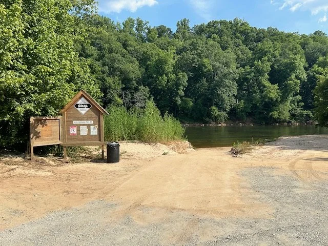
Moravian Creek in Wilkesboro is about five miles downstream from Tailrace access and about five miles upstream from Smoot Park. Five miles makes for a good distance to fish, and this is some good fishing water. Five miles is also a good distance for river clean-ups. I remember doing clean ups on the stretch from Tailrace to Smoot and we would run out of time and had to skip everything down from where Moravian Creek now is. Having access mid-way has been one of those quiet needs for many years. Welcome to the YRST family Moravian Creek and thanks to the Town of Wilkesboro for building the access area and pursuing the designation.
I’ve often thought if the Yadkin River had a hometown, it would be in Ronda in eastern Wilkes County. I am so grateful that the town commissioners voted to officially join the YRST as a designated access area. We look forward to helping the town manage the existing traffic and possibly increasing it in a way that grows the community and provides additional economic benefits.
Donnaha Access area
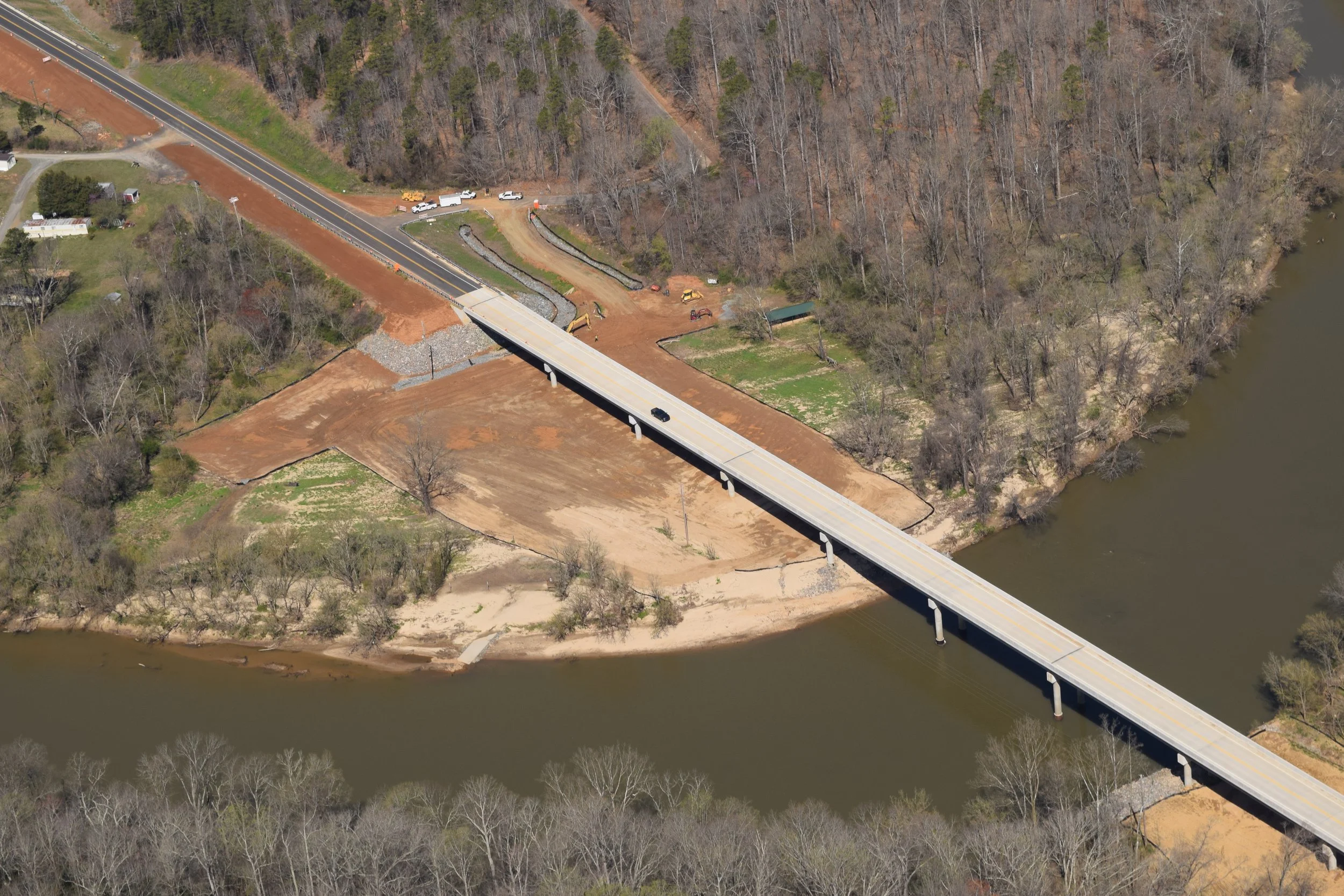
If you think about fishing on the Yadkin River, your mind will first go to Donnaha, specifically Shoals to Donnaha. This site missed earlier designation rounds due to it being closed to bridge work. It’s back, BABY! This site is one of the most used accesses on the Yadkin. It’s great to have it as part of the trail so we can work with Yadkin County to find ways to improve the access for all users.
Newly constructed bridge at Donnaha before the access was reopened.
The Yadkin River State Trail has long had a start, thanks to the US Army Corps of Engineers and Kerr Scott Dam. But the Trail hasn't had an official end, until now. Morrow Mountain State Park will be the Mile Marker 0.0. Across from the confluence of the Uwharrie River and just below Falls Dam on Lake Tillery in Stanly County, this park is a beautiful spot to end a long paddle. The Park Superintendent, Jeff Davidson, is very familiar with the power of a good end of trail marker. Mr. Davidson quickly points out the number of pictures taken at Katahdin at the end of the Appalachian Trail, and now there is an end of the trail sign for the Mountains to Sea (MST) at Nags Head. We will be working towards a similar notable sign for those who have paddled the whole Yadkin River State Trail. For me, the end of a trail always represents a challenge to folks who haven't done the whole thing to find the start, and then ask what's in between. Signs like this wrap up the trail like a bow. I'm really looking forward to working with the park staff at Morrow Mountain to make the trail whole.
What does the designation of these four sites mean? According to the State of NC, The Yadkin River State Trail is now complete. It has a designated start. It has a designated site at the end. There are dependable and designated accesses in reasonable distances between. To them, that’s done.
But wait, THERE’S MORE!
While officially now the trail is complete, we are committed to adding accesses as we can with a goal of having accesses every four-to-six miles. Not only do we need to add one access between Smoot Park and Roaring River. We’d also like to add two accesses between Yadkin Shores and Shoals. And then there’s that long stretch between Tanglewood Park and Hwy 64 that needs one if not two accesses. We also are still working on extending the trail upriver to the Wilkes/Caldwell County line, which we hope to add another 16 miles, which would include the W. Kerr Scott Reservoir. Reaching this milestone of being “complete” in the eyes of the state is like hiking a trail where you get to the summit of the hill you intended to climb only to see three more larger hills beyond. You may have reached your goal, but the other summits call to you.
I appreciate your interest in the journey.


