By Edgar Miller, Riverkeeper
On March 18, Yadkin Riverkeeper Edgar Miller and Riverkeeper assistant Nicole Eastman joined SouthWings pilot Holliday Obrecht, III for a flight from the Davidson County Airport up the South Yadkin River and across the Yadkin at the historic village of Rockford into Surry County. It continued to Pilot Mountain and the Ararat River back down the Yadkin to the airport. The flight covered 120 miles and more than 600 square miles of the South Yadkin, Ararat and Yadkin watersheds. The primary purpose of the flight was to assess potential threats and restoration opportunities on the South Yadkin River as part of YRK’s work to develop a watershed restoration plan for the South Yadkin.

Riverkeeper Edgar Miller and Riverkeeper assistant Nicole Eastman ready to take off.

Ongoing removal and recycling of coal ash at Duke Energy’s Buck Power Station in Rowan County prompted by a Yadkin Riverkeeper lawsuit filed on our behalf by the Southern Environmental Law Center.
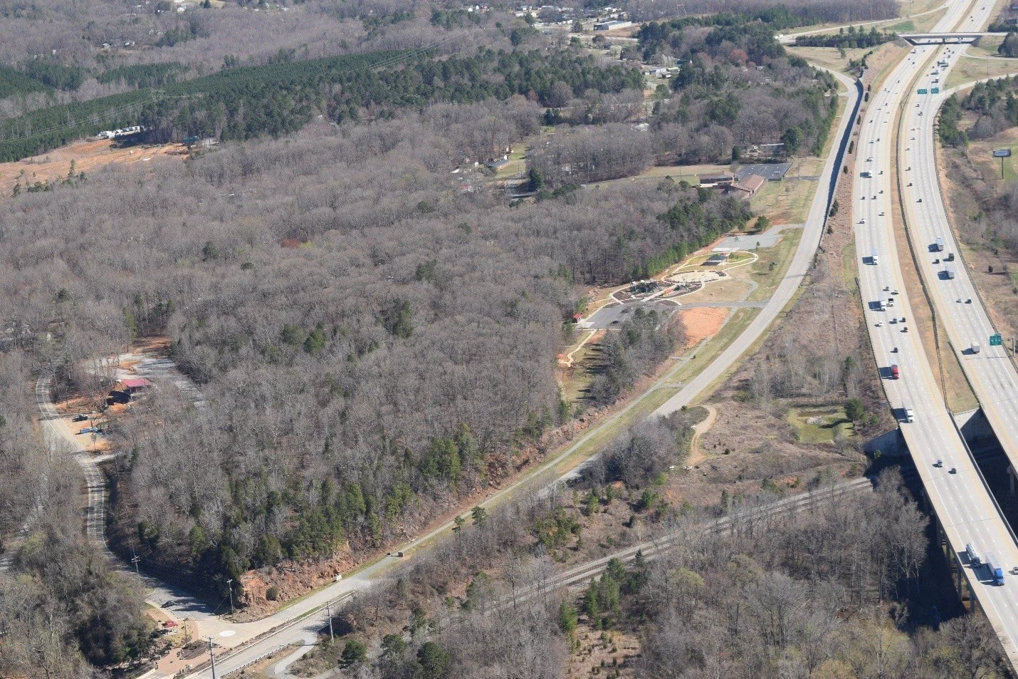
Recently completed children’s playground, restrooms, dog park and parking (upper right center) and new visitor center (left center) at Davidson County’s Yadkin River Park. I-85 to the right.

Confluence of the South Yadkin and Yadkin with Salisbury-Rowan’s current drinking water intake on the main stem above the confluence, which is being moved to below the confluence due to flooding of the pump station (red building upper right center). Hannah’s Ferry boat access and YRK sampling site just above the pump station. Large sand mine just below the confluence.

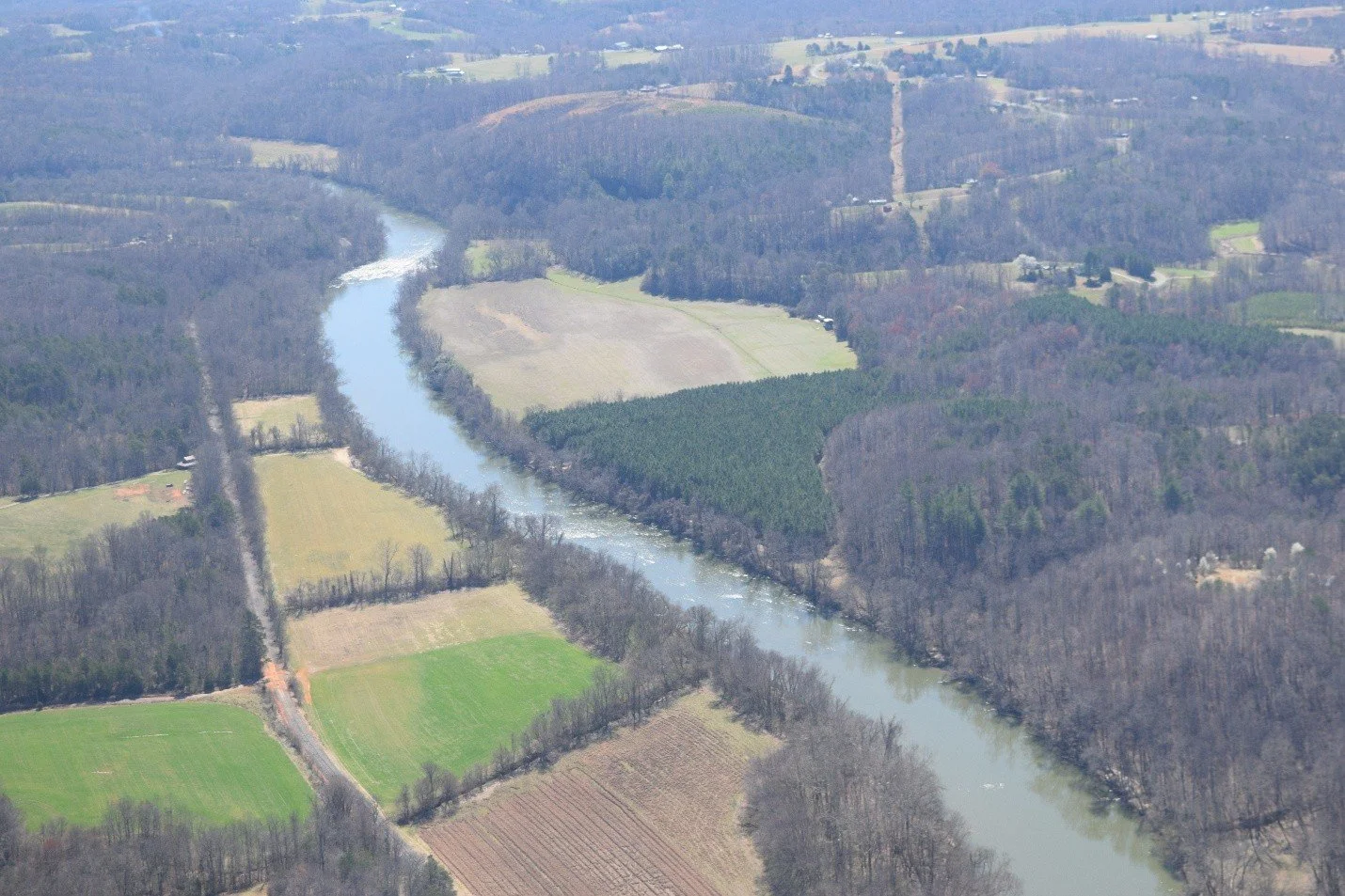
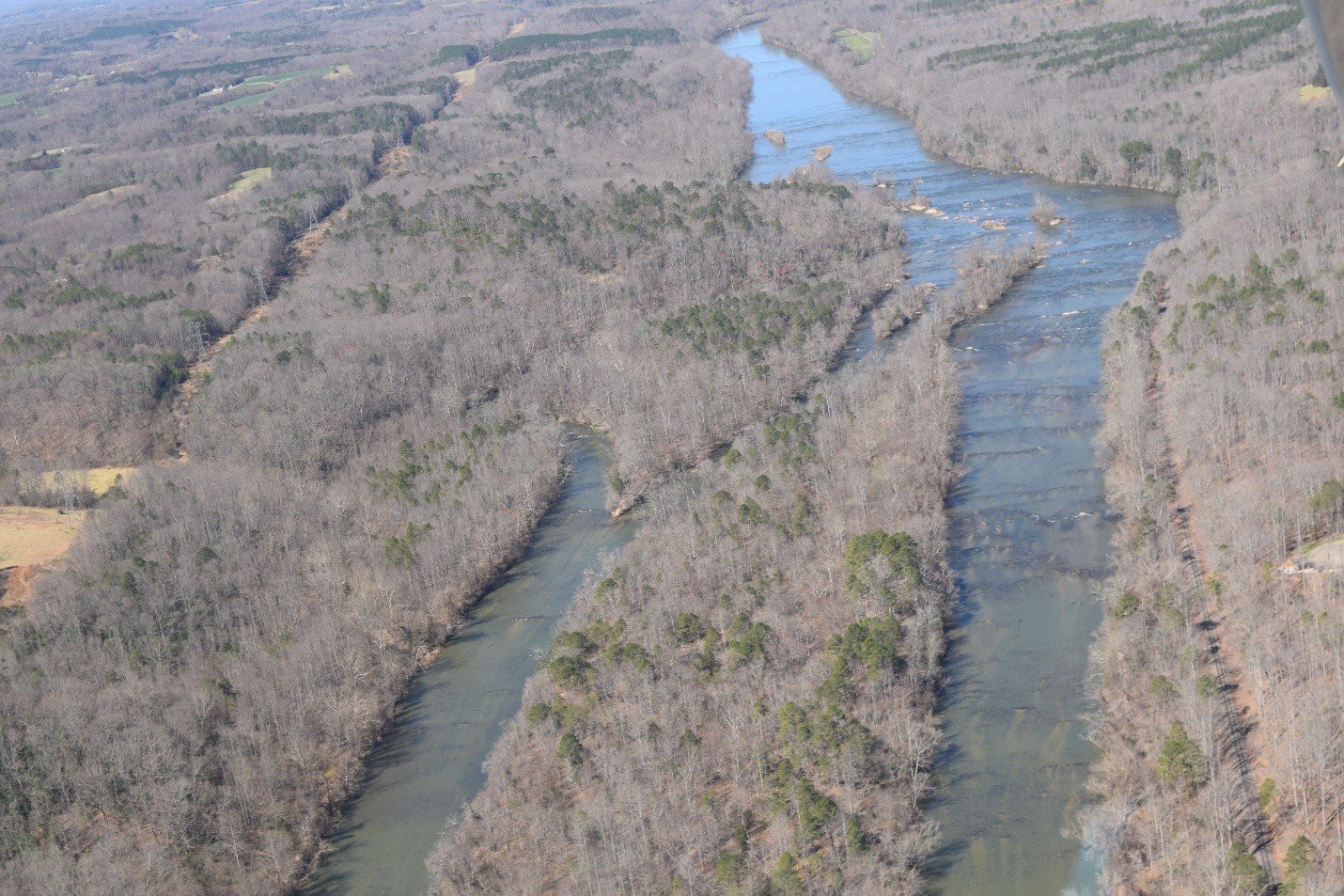
Ox bow on the South Yadkin at its confluence with Second Creek in Rowan County.

Low water at “Bull Hole” in the RiverPark at Cooleemee Falls.

Cooleemee Junction access area and railroad trestle. The second of two YRK sampling sites for the South Yadkin Watershed Restoration Plan.
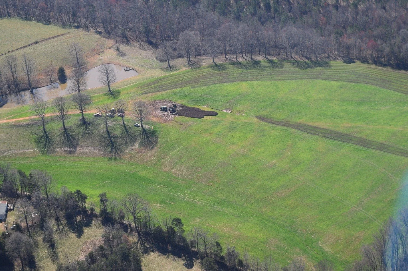
Manure spreading in Iredell County.

Tyson Foods rendering plant near Harmony, NC along Hunting Creek and the South Yadkin. This plant makes pet food from chicken processing waste from Tyson’s Wilkesboro processing plant and has a permitted wastewater treatment plant that YRK reviews periodically.

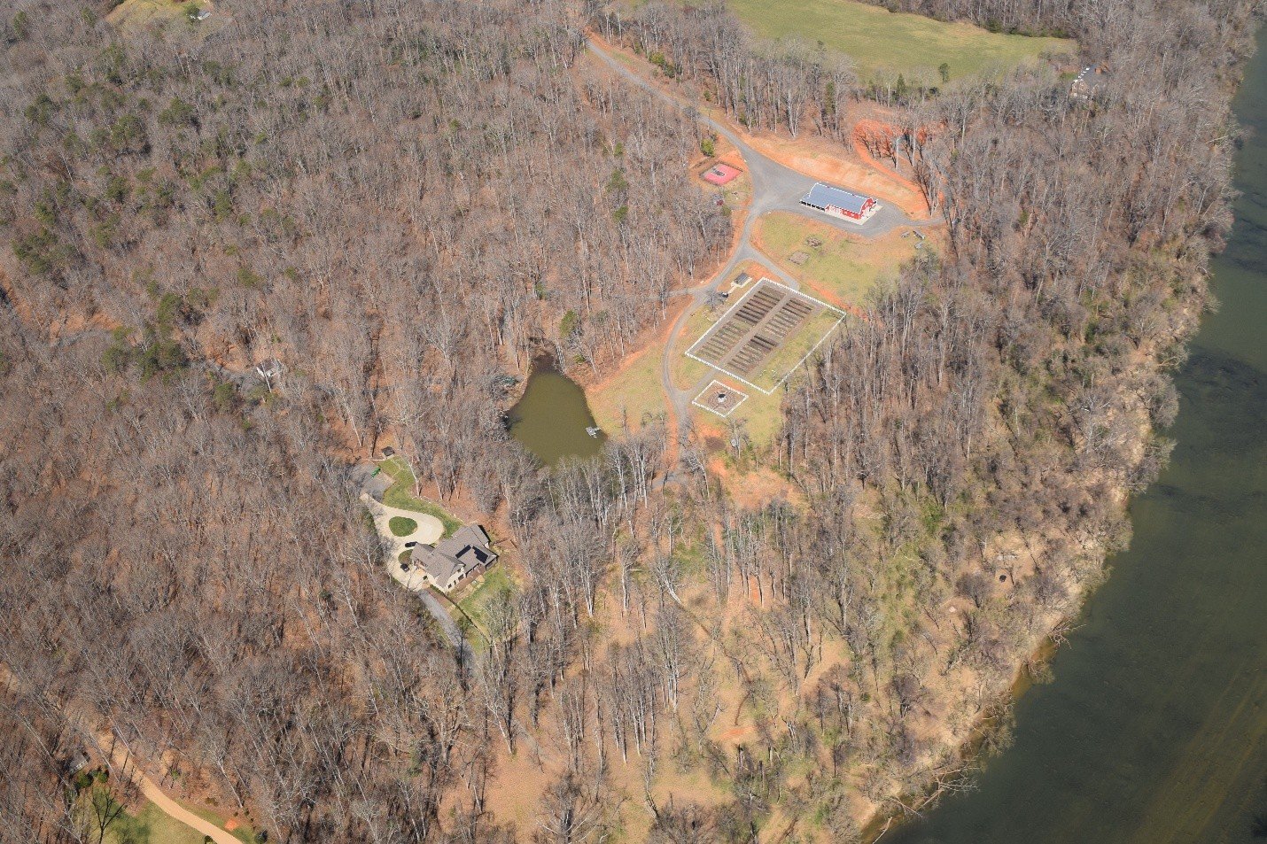
Large solar energy installation in Yadkin County. The upper Yadkin River watershed is a major producer of solar energy.

Historic Rockford village perched above the Yadkin River in Surry County. Rockford once served as the county seat for Surry, Wilkes and Yadkin Counties before they were divided.
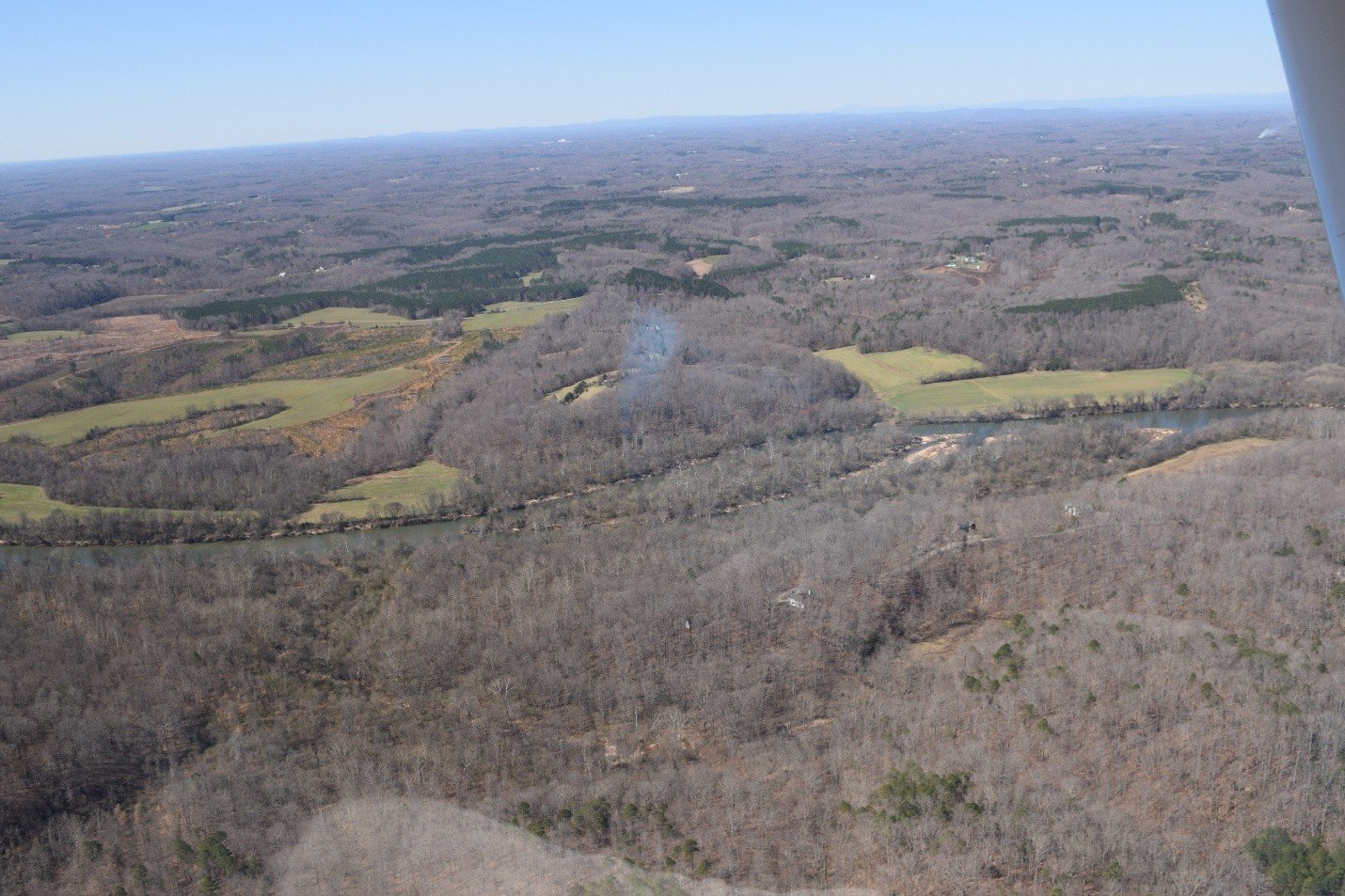
Looking downstream on the Yadkin River below Rockford between Surry and Yadkin Counties.

Jomeokee (Pilot Mountain), Sauratown Mountain and Hanging Rock in the background.

Ararat River in Surry County at Quaker Church Road.

Confluence of the Ararat and Yadkin Rivers and hopefully, future site of a Yadkin River State Trail access on Pilot Mountain State Park land in the upper right corner.
Pilot Mountain State Park River Section

Officially designated Donnaha Yadkin River State Trail access in Yadkin County.
Yadkin Islands below Donnaha. Potential future site for overnight river camping.
Shallow Ford Daylily Farm in Yadkin County where YRK host the annual Yadktober Fest in October.

Riverwalk lots being created near the River and Tanglewood Park. There have been rumors that the development may have stopped at least temporarily. Let’s hope so.

Coming in for a smooth landing.
While we did see and smell, even at 1000 feet, evidence of manure spreading, we did not see any potential violations at the more than 160 poultry and two swine concentrated animal feeding operations or CAFOs we flew over. We did see a few nearly full waste ponds on several permitted dairy CAFO and encourage those farmers to bring those levels down before the Spring rainy season. It is illegal to spread manure during rain events.
As always, these flights remind me of the interconnected nature of everything in our watershed and how land use and agriculture and the overall human presence on the landscape impacts water quality. I’m also reminded of how blessed we are to have this resource that provides drinking water to more than 1 million people and that our watershed and its floodplains, tributaries and mountain headwater streams are relatively undeveloped. As you can see by these photos there will be challenges ahead in protecting our River.
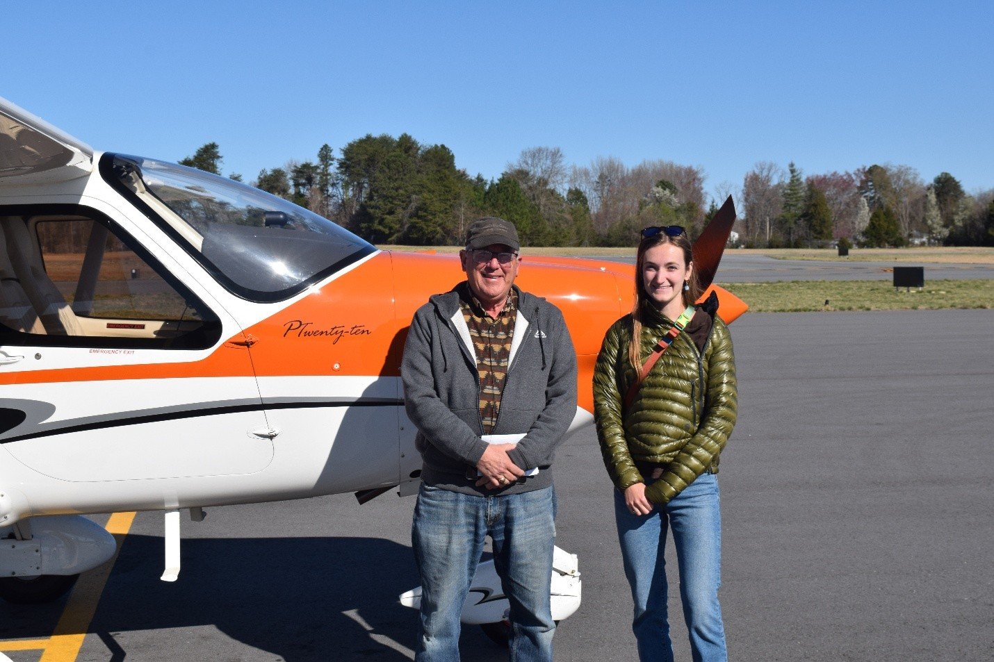
Many thanks to SouthWings and volunteer pilot Holliday Obrecht, III for getting us the bird’s eye view of a portion of our watershed safely and efficiently.